
Finding an Orangetown Street
Address research in Orangetown works best as a chain, not as a roster. Begin with the parcel and its tax context, then use the map and land index to test whether names, dates, and legal descriptions line up. The Town tax search can anchor the current property record; RocklandGIS supplies the spatial setting; and a deed can carry the title trail backward. Historical address directories are useful only after the parcel and street label are stable. Each source describes a different relationship to the address.
- Enter the street address in the Town tax search, keeping the exact number and standard street suffix. Save the Tax Map number, property address, displayed owner, tax year, collection, and any distinct mailing address.
- Search that address or Tax ID in RocklandGIS. Identify the parcel, inspect its road and municipal context, and note nearby parcels without assuming a number sequence proves adjacency.
- Use the latest deed in the County Clerk index to compare the grantor, grantee, instrument number, recording date, and legal description with the parcel result.
- Move backward by searching the earlier seller as a buyer. When the online record ends, ask the County Clerk or Archives for the older deed book, film, or index.
- For a past address association, check the Rockland Room cross-reference and telephone runs by street and then confirm the name section, deed, or another dated source.
That sequence keeps ownership, tax mailing, title, and historical subscriber information separate. It also avoids treating a single search result as proof of everyone connected with a building.
Orangetown Street Search Fields
The Town’s BAS tax search is the first address-facing route. It is a tax-bill and assessment-roll route, not a live public assessor-card database. BAS offers three labelled ways in: Tax Map #, Property Address, and Owner Name. The page also provides a collection selector and Search control. For an owner search, the Town says a last name alone can be used. For an address search, use standard abbreviations such as St, Rd, Ln, and Dr.
| BAS field | Entry type | Useful result | Search caution |
|---|---|---|---|
| Tax Map # | Text | Parcel-specific tax context | Record the identifier exactly as returned |
| Property Address | Text | Situs and bill context | Use St, Rd, Ln, or Dr where applicable |
| Owner Name | Text | Taxpayer name association | Last name can be used; it does not establish occupancy |
| Collection selector | Selection | Tax collection or bill context | Check the selected collection and year |
The Town states that tax bills from the prior ten years may be viewed or printed. A result can connect a name to a taxable parcel, but it does not turn the tax search into a complete household list.
The Orangetown Assessor page publishes the assessment-roll and tax-map context behind this route.
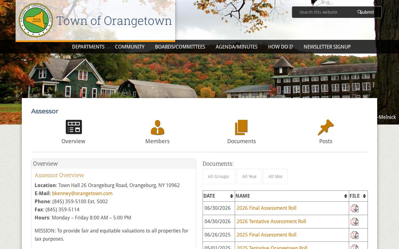
The assessment material is useful for matching a roll year and tax-map context to the address search, rather than promising fields that were not captured in a live assessor card.
Mapping an Orangetown Street
RocklandGIS is the spatial companion to the tax search. It can search by address or Tax ID, identify a parcel, browse the map, and turn layers on or off. County materials describe tax parcels, municipal boundaries, roads and transit, historic resources, economic and land-use information, planimetric features, environmental layers, topography, and district context. Those layers are especially useful when a postal place name, village label, or road alignment does not match the Town name a researcher expected.
Click the subject parcel first. Then pan along the road and identify the adjoining parcel polygons one at a time. Parcel boundaries, roads, municipal lines, zoning, flood, historic-resource, and district layers can explain what the map represents. Map print, download, and data tools may be available as rendered. The County cautions that GIS material may not be complete or accurate enough for legal decisions, so use the map as context and check title through the County Clerk.
Note: A parcel polygon is not a survey or a deed, and address numbers can skip across rear lots, water, public land, commercial sites, or shared parcels.
Orangetown Street Record Coverage
Several address-keyed sources can be compared along the same road, but each has a narrow job. The tax record provides current bill and owner context. The GIS map supplies a parcel and layer view. The deed index establishes recorded title events. A Building Department file can document work at an address. Historical cross-reference volumes can show a dated subscriber or address association. Keeping those roles separate prevents a street search from overstating what any one record proves.
| Address record | Custodian | What it can show | Access route |
|---|---|---|---|
| Tax bill and BAS result | Town tax office | Tax Map number, owner and bill context | Online BAS search |
| Assessment roll | Town assessor | Roll-year value, exemptions, owner context | Roll PDFs or assessor office |
| Parcel map | RocklandGIS | Shape, Tax ID, roads, boundaries, layers | Public viewer with accuracy caveat |
| Deed and map index | Rockland County Clerk | Title parties, dates, instruments, legal description | Cott guest view or Clerk copy route |
| Permit or code file | Town Building office | Application, work, inspection, certificate context | Targeted request or FOIL |
| Cross-reference directory | Rockland Room | Historical address-to-subscriber link | 1978 to 1999 reference run |
A Tax Map number can bridge BAS and GIS. The legal description and recorded map reference can then bridge a modern street address to the land records. A historical directory entry is most reliable when it agrees with the street label and time period of the other records.
Orangetown Street Deed Chain
The Rockland County Clerk Cott index is the key title route for an address. Start with the newest deed and write down its instrument number, grantor, grantee, recording date, legal description, subdivision or map reference, and any prior instrument. Then search the grantor as an earlier grantee. That reverse move is stronger than searching only the modern street name, because older deeds may use a lot, block, metes-and-bounds description, village name, or former owner rather than today’s address.
The portal displayed land-record coverage from January 2, 1930 forward at inspection. That is an online-index boundary, not the beginning of Rockland land records. When the chain reaches the displayed boundary, contact the County Clerk or Archives for older deed books, films, maps, or indexes. Guest viewing is generally available online, while printing follows portal account rules; the Clerk also provides search-room and mail-copy routes.
A mortgage records financing, and a satisfaction records debt release. Neither is an ownership transfer. A recorded lien or judgment also does not establish a person’s current connection with the street.
Orangetown Permit Records by Address
Building permits and certificates can help date construction, additions, conversions, inspections, and final approvals at a specific address. The Town’s published guidance identifies possible application material such as the owner or applicant, property, proposed use, valuation, plans, contractor, inspections, and certificates. An applicant can be a contractor, designer, organization, or owner, so the name needs the same careful reading as any other address record.
No online permit index was located in the official research. Send the Town Building, Zoning, Planning, Administration and Enforcement office a focused request with the address, record type, and approximate date range. A code file may include allegations or notes and can require redaction. Town materials describe staged digitization of Building Department records, which means an older file can exist even when it does not appear in a public search screen.
The Building Department page is the source for the request-only address route.
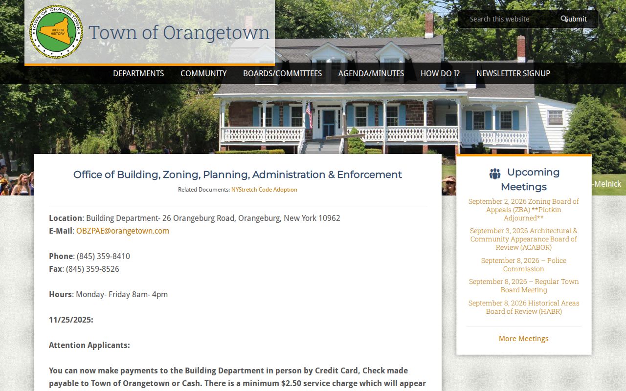
A defined street range and date span gives staff a practical way to locate permits, certificates, inspections, or final sign-off records without asking for an undefined list.
Orangetown and South Nyack Labels
Orangetown is a Town with villages, hamlets, riverfront communities, and postal place names rather than one uniform city label. A parcel may carry a village, hamlet, postal city, or former South Nyack label. South Nyack’s village government dissolved in 2022, and its Justice Court matters transferred to the Town that April. For records around the change, preserve the original label and search both the former Village of South Nyack name and current Town routes.
Nyack-related records can use ZIP 10960, while West Nyack and ZIP 10994 are generally associated with Clarkstown rather than an Orangetown neighborhood. Tappan, Pearl River, Sparkill, Palisades, Blauvelt, Orangeburg, Piermont, and Nyack can also be better search terms than a broad Town label. The exact suffix and postal community should stay in the research log alongside the normalized municipality.
Orangetown Street Directory History
For family history or a former address, the Rockland Room offers the local reverse-directory bridge. Its Cross Reference Directories run from 1978 through 1999. The room also holds Nyack telephone books from 1883 through 1890 and Rockland County telephone books from 1910 through 1998. Begin with the street or address portion of the cross-reference volume, record the dated occupant or subscriber spelling, then compare the name section and the closest telephone-book years.
These publications are snapshots. A subscriber may not represent every person connected with an address, and an unlisted number leaves a gap. Rural routes, hamlet names, street abbreviations, and historical parcel descriptions can move the same property between pages. For a deeper collection-level discussion of the dated volumes, newspapers, and local-history repositories, the Orangetown Directory Book provides the historical shelf without turning an old entry into a modern address claim.
The New City Library Rockland Room, Nyack Library local history resources, Orangetown Museum, and County Archives are the documented fallbacks when an online record or a cross-reference year does not answer the address question.
Orangetown Voter Search Boundaries
The New York voter lookup is a self-service registration and poll-information tool. It asks for county, last name, first name, date of birth, ZIP or address prompts, and other required information. It is not a public street roster. Do not use a name or street search to imply that the tool returns every registered voter at an address.
New York Election Law section 3-103(5) requires an election-purpose statement for voter-data requests, while confidential registration under section 5-508 can protect individual records. Public aggregate precinct or district information may provide context, but it cannot be converted into a street-by-street list of people. The Rockland County Board of Elections is the proper contact for a lawful, defined records request and its current field limits.
Orangetown Address Terms
Labels that look alike can point to very different records. Write each label exactly as it appears before comparing a tax result, deed, map, or postal lookup.
- Parcel
- A mapped land unit, commonly tied locally to a Tax Map number or Tax ID. It provides geographic context, not a list of people.
- Situs address
- The physical location of the parcel or building. It can differ from the address where tax notices are sent.
- Tax mailing address
- The notice destination used in tax administration. It may belong to a trust, representative, business, or owner elsewhere.
- Legal description
- The title description of land, often a lot, block, metes-and-bounds description, or recorded-map reference rather than a street address.
- Plat or recorded subdivision map
- A recorded map that can show lots, roads, and legal parcel relationships. It is not the same thing as an individual property survey.
- Criss-cross directory
- A reverse directory that begins with an address and points to a dated subscriber or name entry, such as the Rockland Room run from 1978 to 1999.
Orangetown Street Directory Limits
An address record can establish a parcel, title event, tax context, permit history, or historical publication entry. It cannot reliably identify every person connected with a building. Utility customer records, delivery data, and protected DMV personal data are not public street sources. A tax owner may use a different mailing address, a deed party may no longer be connected with the property, and a map click does not reveal private household relationships.
When an offline record is needed, identify the office first. The County Clerk handles recorded land material; County Archives can assist with older series; the Building office handles address-specific permit material; and a FOIL request should name the department, address, record type, approximate period, and desired format. New York FOIL concerns existing records and does not require an office to create a new street list.
Lawful use. Use address records for lawful personal research, local history, property questions, or an estate matter. Never use public information to stalk, harass, intimidate, or harm another person.